RRRrrrrrrrrroooooooowwwwww! We awoke to 21 planes flying right over us, taking off from the strip we passed the day before and making their way to their individual fire assignments. So we broke camp and headed back to the café in town for some breakfast and planning of the day's ride.
 |
| Main Street of Yellow Pine |
Scott and Mike are parked at the general/liqueur/gas store, and the green-topped building is the café...
 |
| Yellow Pine General Store |
 |
| Now that's convenient...a Tavern and Bar on the same side of the road! ; ) |
...and boy was a surprised to see they had a city golf course! Complete with club rentals at the General Store...though I only saw some peeps using two or three irons. Still though, I was intrigued and if I'd noticed it the day before I might have been inclined to grab a few beers and clubs from the Gen Store and try it out!
 |
| Yellow Pine City Golf Course |
I noticed a lot of people around and Mike talked a bit to the gas attendant/owner of the general store about the traffic. She explained in no uncertain terms that she was not happy there (I think a hangover may have been talking) and the town was going to turn into a zoo soon. Some of the traffic was due to the firefighter camp but there were also a herd of people coming for the annual harmonica festival. Yeah, you heard me...a harmonica festival. Honestly, I would have loved to stick around and see what THAT was all about, but we had to be on our way...if you're interested, here's the website...yes they have their own website:
http://yellowpinemusicandharmonicafestival.org/
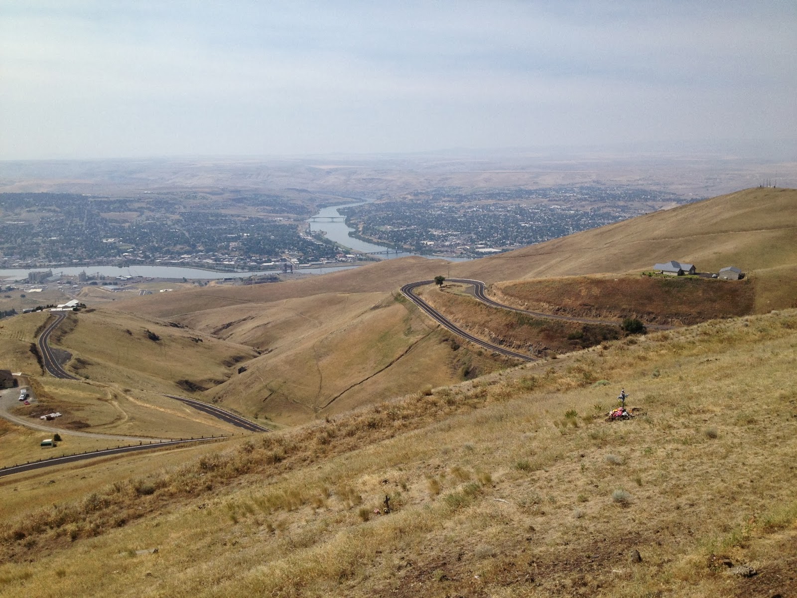
We headed east out of town to Warren along Stibnite creek, which was just as amazing a ride as it was riding in from the south...
 |
| Stibnite Creek |
We took a left up Profile Creek and headed north over Elk Summit...
 |
| Elk Summit in the background |
 |
| Rainy made it out his bag for a pic... |
...geesh...more mountains! Lots of steep ones comin' up...see that little road in the distance? Dat b where we goin'...
For me, this was the best part of the whole ride. There is no picture that can capture how crazy steep these mountains are...and how narrow the road is that's cut into the side of them. Plus, the road was made up of some really loose gravel and there were definitely a couple spots that puckered my butt. We ended up passing a old beater truck hauling wood down the hill...you would think there would be easier places to get wood!
 |
| Down from Elk Summit |
...and where you go down you must go up! Just as we made our way down from Elk Summit up the mountain to Warren Summit we went! Maybe looking at the elevation plot below would give a better representation of the steepness...these peaks are the two large spikes at the beginning of it...
 |
| Looking back on Elk Summit |
 |
| Warren Summit |
We didn't stick around Warren Summit very long seeings the bees were especially a pain in the ass up there.
As we headed into Warren for gas there was a big gun-lookin' thingy we just had to check out....
 |
| LOL...I wunder what's in dat hole... |
Seemed this place was pretty popular with the Boise crowd. There were tons of side-by-sides parked in front of what appeared to be the only place in town still open. I kinda expected a gas station....
 |
| Where's the gas? |
It turns out the only thing you could get was beer...but this place was HOPPIN'!
 |
| The Baum Shelter - in all it's glory |
 |
| Somethin' tells me this table wasn't very flat |
Since we had already been to Bergdorf last year I thought it would be nice to try another route down to Riggins. On one of my maps I found a trail 325 that went north of Warren to the Salmon River. The trail was a true 2-track trail complete with some pretty aggressive terrain and a cool lookout...
 |
| Lookout above Warren |
...and here is where I got all snotted up. We ended up on the road to Bergdorf after a VERY rough road out of the lookout. Truth be told, I'm kinda glad we didn't find 325 since it would have been pretty slow going. And who knows how steep and richter the trail was down to the river. Still though, I want to find that trail and ride it someday...with less gear!
 |
| The grade down to Riggins |
...back to the Salmon River...I half expected seeing some of the rafters we met four days ago...
A trip through Riggins just doesn't seem complete anymore without stopping at 7-Devils bar and grille. What they DON'T tell you is the grill doesn't open until 4:00 and it was only 3:00. No matter...we decided to just have some beers for an hour while we waited for the grille to open. About 15 minutes into the wait this teenage girl comes rolling into the bar with her two friends who looked like they were on their way to prom. Well, it turns out it was her 21st birthday...and she'd already had quite a few...and she had a mouth on 'er. Every person that walked into the bar got her grand screaming welcome...."Welcome to the f***in' bar! Show me your ID!". Really? Wow...after about 10 minutes of that crap we decided to bid that place and the 'yatch friggin' adieu. Kamiah was calling our name...and y'all know what that means...
 |
| Oh baby...YES! |
...the Kub Burger! Yes folks, this is the best burger in the state (pretty sure)...but you gotta bring your man-pants and a hell of an appetite! Luckily I packed both for just the occasion. ; )
At this point it was getting pretty late and there wasn't a camp site within 30 miles. We finally punted and stayed at the local Long Camp RV park. Not ideal but we were tired and just ready for a shower and a drink. Luckily we had the super-sweet talker Mr. Mike with us...he somehow sweet-talked that poor little attendant into $10 for all of us that night. I don't know how he does it...because frankly I don't care. I only know that when he starts I have to walk away and he gets the job done. Someday I'll stick around and see how it's done....
 |
| RV camp - not ideal but it works |
You know, this wasn't that bad of a place to pitch a tent. I mean, there were a few people on the other side of the park but it was quiet. We even had a view of a purdy little pond with ducks and stuff in it. We DID find out, however, that the local feline fancied herself a predator for those ducks. About ten minutes after we went to bed there was a devilish ruckus at the pond. Seems the cat got into it with the ducks, and by the sound of it the ducks won! It got a chuckle out of me...I like ducks...
 |
| Day 8 Elevation Plot |
.PNG) |
| Day 8 GPS Track |


.PNG)
.PNG)


.PNG)